Weather

Motorists are being encouraged to reschedule travel plans late Thursday into Friday.
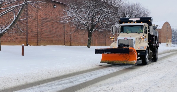
snow plow truck
Friday's temperature will dip below zero, and high winds will make it feel even colder.
This isn’t just a freak summer: Over the years, such extreme events are occurring in increasing frequency and intensity.
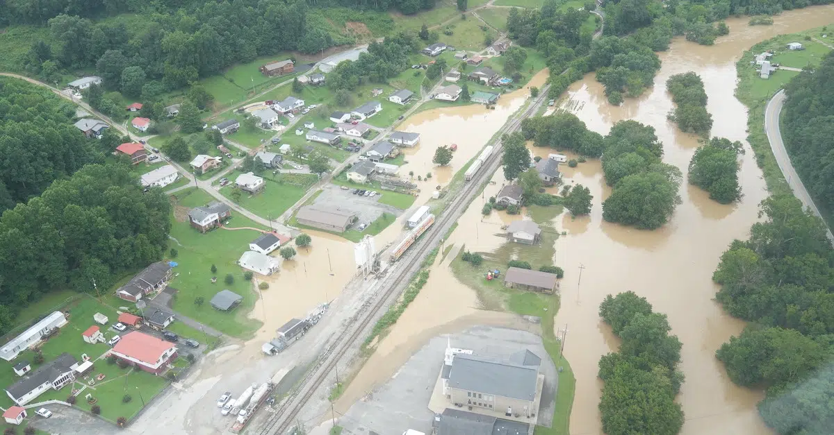
Wondering how you can help those who have lost so much to flooding in Eastern Kentucky? Here are a few ideas.
Although floods are a natural occurrence, human-caused climate change is making severe flooding events like these more common.
With summer temperatures rising, sports management experts suggest particular attention be paid to low-income, minority neighborhoods and regions that can get excessively hot.
Recent research shows that a combination of heat and humidity can get dangerous faster than scientists previously believed.
The National Weather Service warned that heat indices will be in the range of 105 to 110 degrees.
To be considered for disaster assistance, storm victims must have applied to FEMA before the deadline, which was March 14.
Wind gusts up to 80 mph, isolated golf ball-sized hail and tornadoes are all possibilities starting early Wednesday afternoon through the evening, according to the National Weather Service.

A local meteorologist also offers some tips for how residents can prepare.
NWS officials spoke at a workshop Thursday in Paducah about what weather models revealed leading up to the night of Dec. 10, and the effectiveness of storm warnings.