Weather

Hazardous driving conditions prompted several agencies to close or reschedule activities.
snow sidewalk feature
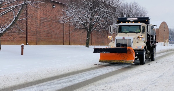
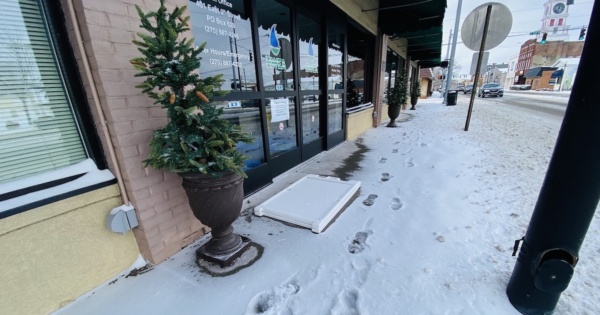
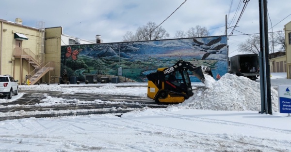
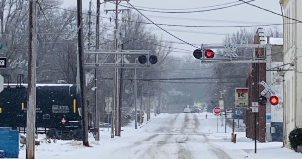
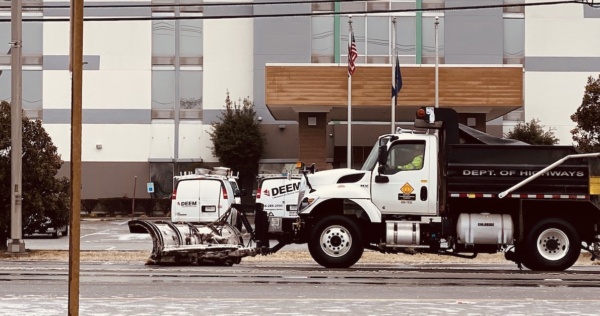
As the region awaits the next wave of snow, several agencies and businesses will remain closed Wednesday because of hazardous driving conditions created by snow and ice at the start of the week.
snow-removal-HWEA-lot-feature
There was enough accumulation to create hazardous driving conditions that will still affect Hopkinsville on Tuesday.
train snow scene feature
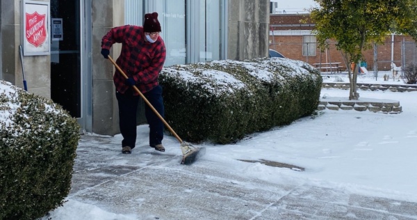
Officials warned residents they shouldn't try to travel, and the Salvation Army prepared to offer shelter to people needing a warm place during the storm.
sweeping snow outside of salvation army
The National Weather Service at Paducah said the region will see 6 to 12 inches of snow, and conditions could cause drifting.
snow plow feature
Western Kentucky could see 5 to 9 inches of snow accumulation starting Sunday, the National Weather Service reported. A second storm could produce more accumulation mid-week.
valentine snow feature
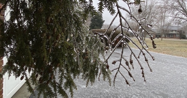
Thursday's forecast included an 80% chance of sleet, rain and freezing rain, but the National Weather Service said little or no additional ice accumulation was expected.
ice storm branches feature
The National Weather Service warned travel will likely be treacherous.
closed sign feature
The Christian County Health Department is offering two other days to get the vaccine.
Vaccine vaccination senior
The winter storm watch previously issued by the National Weather Service was upgraded Tuesday to an ice storm warning.
ice storm landscape feature
Overnight lows will be below or near freezing every night through the weekend.
icy weather
Some afternoon storms could be severe and produce large hail and damaging winds.
National-Weather-Service_Facebook_Storm-600x314-2