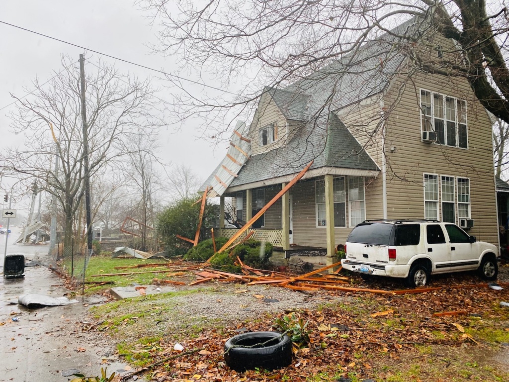
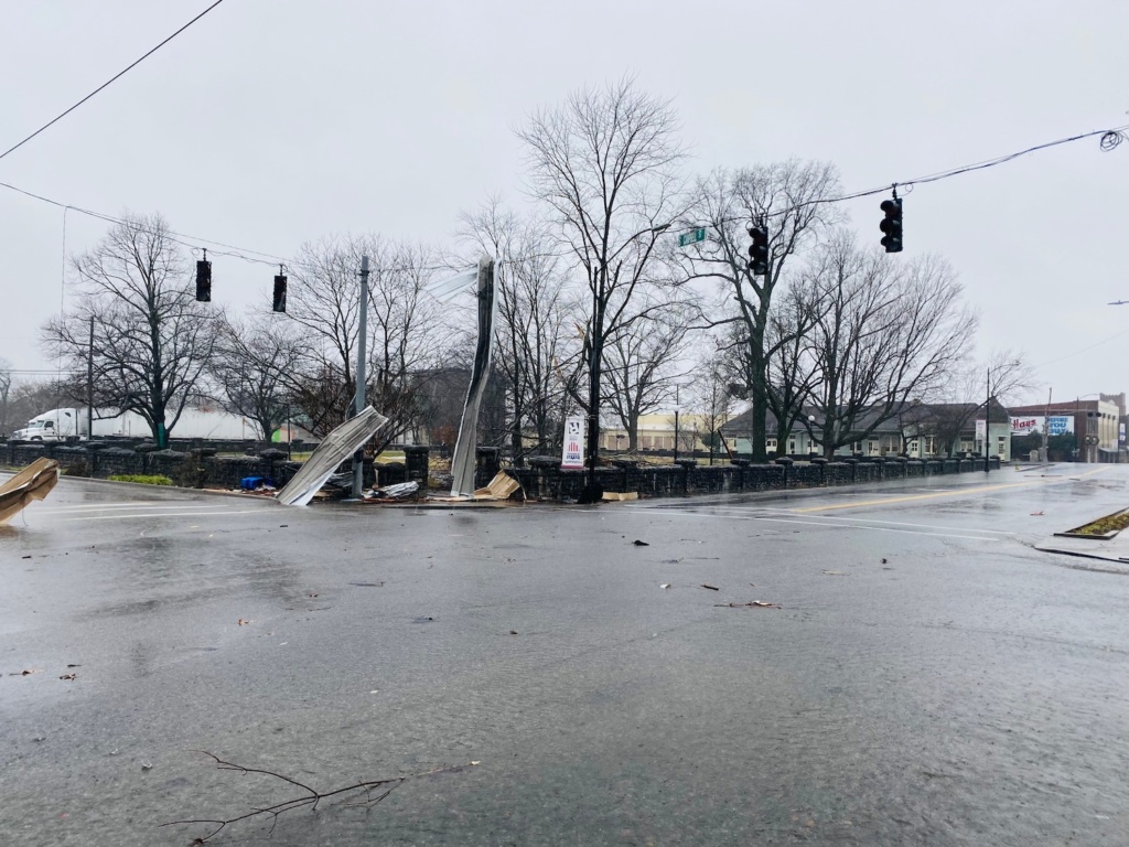
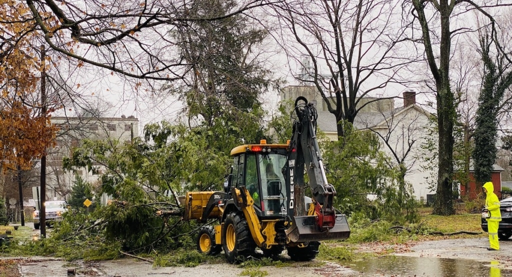
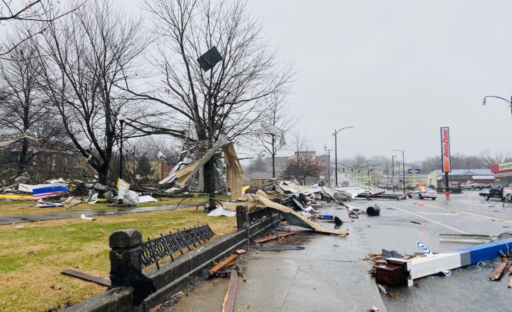
As snow fell across Western Kentucky on Sunday, the National Weather Service in Paducah confirmed that a tornado touched down in downtown Hopkinsville on New Year’s Day morning.
- DECEMBER STORMS: South Christian takes brunt of storm; tornado appeared to run from LaFayette to Pembroke
It was estimated to be an EF-2, with peak wind speeds near 115 mph and a width of 125 yards, according to the weather service’s preliminary survey data.
The Hopkinsville tornado was one of at least five to hit Kentucky on Saturday and appears to have been the strongest, according to preliminary weather service reports. The storms caused significant property damage, but no fatalities or injuries had been reported as of Sunday, according to the governor’s office.
The following tornadoes have also been confirmed:
- Bowling Green, Warren County, EF-0, peak wind speeds of 85 mph
- Union City, Madison County, EF-1, peak wind speeds of 110 mph
- Northwest of Glasgow, Barren County, EF-1, peak wind speeds of 95 mph
- Campbellsville, Taylor County, EF-1, peak wind speeds of 105-110 mph
Saturday’s tornado in Hopkinsville ripped the roof and gas pumps from the Marathon station at Ninth and Campbell streets and damaged several homes and businesses from about 18th Street to Fourth Street. At Mount Olive Baptist Church on Fourth Street, part of the roof was torn from the building.
There was no tornado watch or warning issued when the tornado touched down.
Gov. Andy Beshear has announced plans to visit Hopkinsville on Monday to assess the damage, as well as to Graves and Hopkins counties to check on rebuilding efforts following last month’s tornadoes that devastated much of Western Kentucky. During the Dec. 10-11 outbreak, an EF2 traveled through South Christian County and Pembroke just hours after an EF4 clipped the northwest corner of Christian County.
Julia Hunter is the engagement editor for Hoptown Chronicle. Reach her at julia@hoptownchronicle.org.
