Skip to content
Donate
Weather
For all but one Kentucky county, 2024 was one of the five hottest years on record
Derek Operle
•
February 18, 2025
Weather cancellations and closures
Jennifer P. Brown
•
February 18, 2025
Local and state agencies prepare for snowstorm and bitter cold
Jennifer P. Brown
•
February 18, 2025
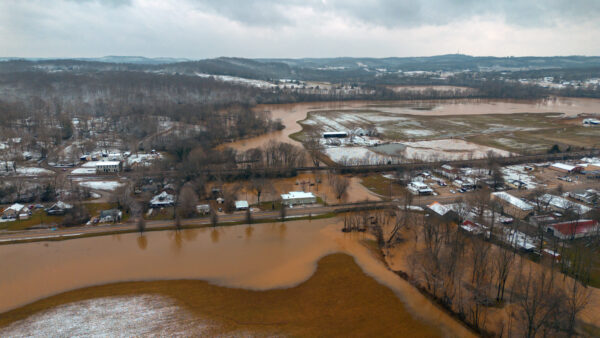
Dozens of roads across the state remain flooded from heavy rain over the weekend, and this will impact snow removal.
Winter Storm Warning: Snow and extremely cold conditions forecast in Hopkinsville
Hoptown Chronicle
•
February 17, 2025
Heavy snow is expected Tuesday evening. Cold temperatures will persist through the week.
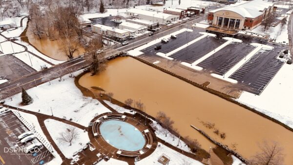
Hopkinsville drenched in flash flooding, then covered in snow
Jennifer P. Brown
•
February 16, 2025
Saturday's rainfall measured 5.85 inches, bringing the week's total to 7.46 inches, according to the Kentucky Mesonet weather monitor in Hopkinsville.
Eight die in flooding across Kentucky as rescues continue, governor warns of ‘wild weather week’
Liam Niemeyer
•
February 16, 2025
Federal disaster assistance is available in all 120 Kentucky counties.
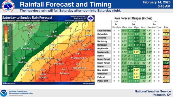
Forecasters warn of flooding potential over weekend across Kentucky
Jennifer P. Brown
•
February 14, 2025
Gov. Andy Beshear issued a state of emergency Friday ahead of the rainfall to prepare for potentially hazardous conditions.
Utilities offer tips, assistance on lower energy bills as cold weather continues
Shepherd Snyder
•
January 22, 2025
Those struggling with high utility bills can reach out to their local Low Income Home Energy Assistance Program (LIHEAP) office
Cold weather advisory issued for Hopkinsville
Hoptown Chronicle
•
January 18, 2025
Wind chill values below zero will create hazardous conditions for Western Kentucky, warned the National Weather Service.
UPDATE: Winter storm warning issued; forecasters increase snowfall prediction to 4-8 inches
Jennifer P. Brown
•
January 7, 2025
All schools, including Hopkinsville Community College, are closed on Friday
Christian County Public Schools closed Tuesday after initial call for two-hour delay
Hoptown Chronicle
•
January 6, 2025
District officials made the decision "after additional snow that fell in our area overnight."
Winter storm has icy grip on Kentucky
Tom Latek
•
January 5, 2025
Authorities are urging people not to travel unless necessary.
Posts pagination
Previous
1
…
4
5
6
…
16
Next