Western Kentucky’s reputation for widely fluctuating weather during brief spans of time will be on full display in the next several days.
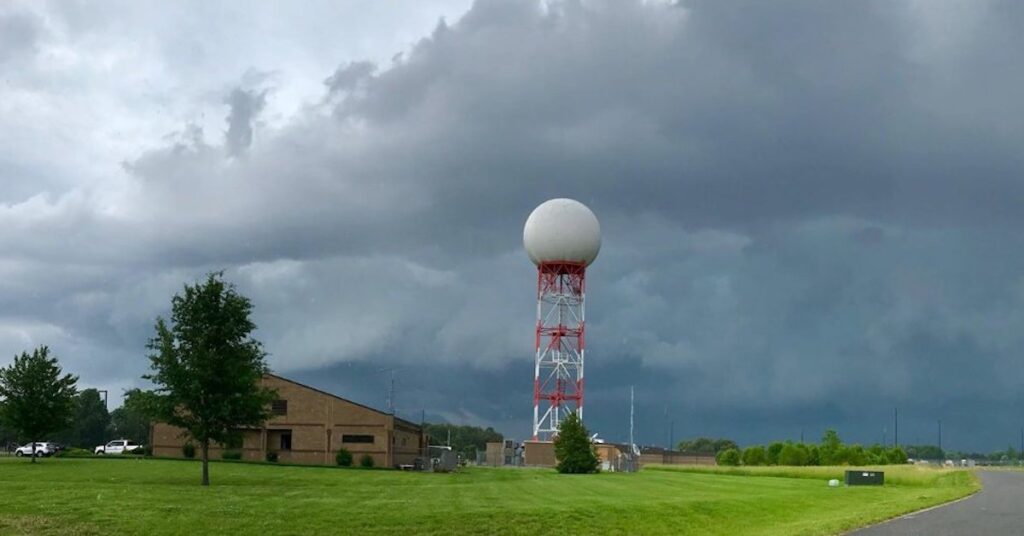
Hopkinsville and surrounding areas will see heavy rainfall Thursday and Friday, creating the potential for flash flooding since the region is already saturated from showers earlier in the week, according to the National Weather Service forecast. In addition, gusting winds could create problems on Friday.
“Peak gusts Friday afternoon and evening may approach 50 mph as the forecast stands right now,” a forecaster at the NWS Paducah office wrote. “A marginal risk of severe storms exists, and while the risk is low, it may heighten damaging wind gust potential. As grounds become well saturated again, these high gusts may be able to down some trees or power lines, even if they don`t quite reach severe levels.”
Daytime temperates will reach the mid-50s on Thursday and Friday, but the weekend will bring chilly conditions with highs in the mid-30s on Saturday and Sunday.
Snow is likely Sunday evening, and possible again Monday for Martin Luther King Dr. Day, when the high will be only 17 degrees.